A lot of last years attendees have complained all over social media about the poor map that was provided by the official EE Glastonbury app. The fact that no-one could get a mobile signal only compounded more frustartion especially where 200,000 revellers are all trying to utilise the same mobile phone mast and the fact that there is no offline interactive map.
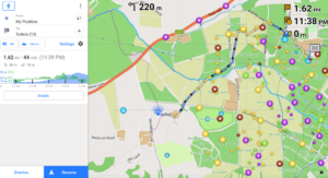
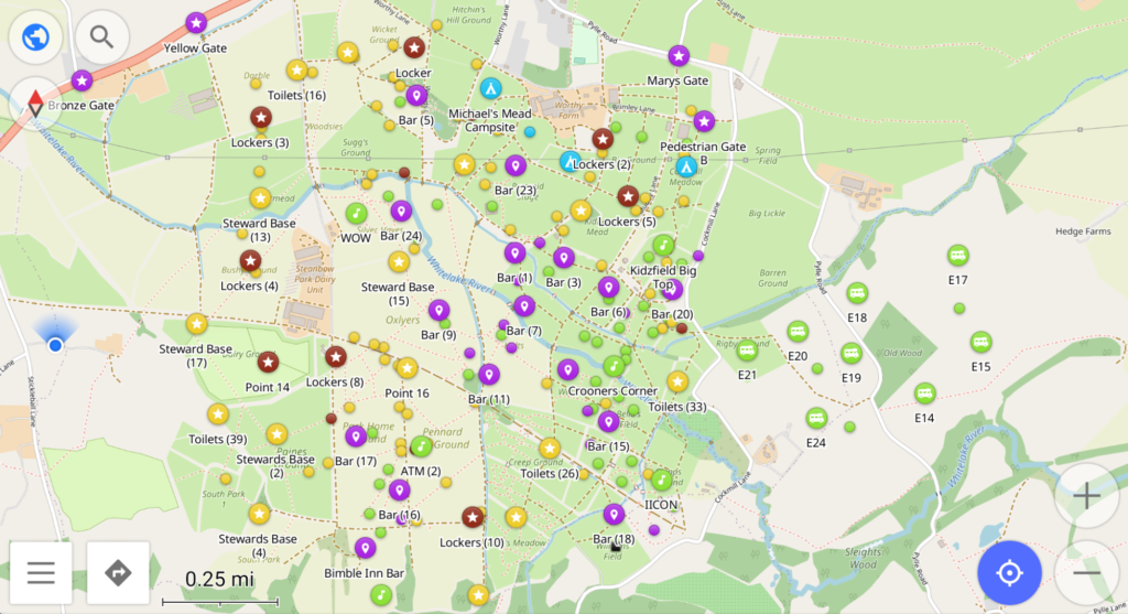
Well this year we will be providing a FREE map that can be used with a FREE 3rd party app which is available on both iPhone and Android and which will allow navigation to all the festivals landmarks/waypoints without the need for a signal which will include but not be limited to;
- Stages
- campsites
- Water points
- Food outlets
- Bars
- Toilets
- Personal markers which will allow you to pin your tent location and get directions back wherever you are on site (no matter how partied up you are!!)
The app will also provide you with the ability to filter waypoints, edit details and provide details including distance to waypoints, time to waypoints and even the elevation of the walk

We are currently waiting to get our hands on this years map which is expected around the beginning of May. As soon as we have it will will provide a free link and comprehensive instructions on how to install and use this on your device.
For updates on the map app please feel free to supply us with your email and we will contact you via email when the map is available for download. We promise not to pester you with junk mail in the meantime.

